Search
Now showing items 21-30 of 42
Parâmetros de fonte de sismos locais por inversão de formas de ondas
(Sociedade Brasileira de Geofísica, 2010-11)
The main purpose of this work is to invert seismic waveforms in order to obtain moment tensor for two medium size earthquakes detected by OVSICORI-UNA Costa Rica permanent seismic network, occurred in 2004, following the ...
Coda wave attenuation in Mara Rosa seismic zone
(Sociedade Brasileira de Geofísica, 2013-08-26)
Small local earthquakes from aftershock sequence in Mara Rosa, Goiás state, Brazil were used to estimate the coda wave attenuation in the frequency band of 1 to 20 Hz. The time-domain coda-decay method of a single ...
The Mw 6.4 Damas, Costa Rica, Earthquake of 20 November 2004: Aftershocks and Slip Distribution
(Seismological Society of America, 2006-08)
The earthquake of 20 November 2004 was located north of Damas Island in the Pacific coast of Costa Rica, within the Costa Rica Deformed Belt. The earthquake was located at 24 km depth and reported with a magnitude (Mw) of ...
Constraints on upper mantle anisotropy surrounding the Cocos slab from SK(K)S splitting
(American Geophysical Union, 2010-06-24)
SKS and SKKS splitting observations are used to constrain the pattern of mantle flow
in the Central American subduction zone beneath Costa Rica and Nicaragua. After
removing the effects of shallow wedge anisotropy on ...
Imaging the Subduction Factory Beneath Central America: The TUCAN Broadband Seismic Experiment
(American Geophysical Union, 2004)
Summary of the paper "Imaging the Subduction Factory Beneath Central America: The TOUCAN
Broadband Seismic Experiment"
Seismogenic zone structure along the Middle America Trench, Nicoya Peninsula, Costa Rica, from 3D local earthquake tomography
(American Geophysical Union, 2004)
Resumen de la ponencia "Estructura de la zona sismogénica a lo largo de la Fosa Mesoamericana, Nicoya Península, Costa Rica, a partir de tomografía sísmica local 3D"
Coastal Deformation Patterns Along the Nicoya Seismic Gap, Pacific Coast, Costa Rica, Central America
(American Geophysical Union, 2004)
Summary of the paper "Coastal Deformation Patterns Along the Nicoya Seismic Gap, Pacific
Coast, Costa Rica, Central America"
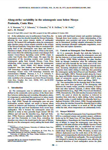
Along-strike variability in the seismogenic zone below Nicoya Peninsula, Costa Rica
(American Geophysical Union, 2002)
At the subduction zone in northwestern Costa Rica, the seismogenic zone lies directly beneath the Nicoya Peninsula, allowing for near source seismic studies of earthquake activity. We located 650 earthquakes along the ...

The March 25, 1990 (Mw=7.0, ML=6.8), earthquake at the entrance of the Nicoya Gulf, Costa Rica: Its prior activity, foreshocks, aftershocks, and triggered seismicity
(American Geophysical Union, 1995-10-10)
On March 25, 1990 a large earthquake (Mw = 7.0, ML = 6.8) occurred at the entrance of the Nicoya Gulf, Costa Rica, at 1322:55.6 UTC, producing considerable damage in central Costa Rica and generating much interest about ...
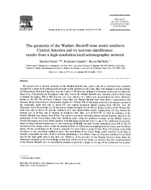
The geometry of the Wadati-Benioff zone under southern Central America and its tectonic significance: results from a high-resolution local seismographic network
(Elsevier, 1994)
We present here a detailed geometry of the Wadati—Benioff zone under Costa Rica, obtained from seismicity recorded by a dense local seismographic network jointly operated by the Costa Rica Volcanological and Seismological ...